Map of the Sfakia municipality
Large map of the municipality of Sfakia, southwest Crete

Click map to see a large version - WARNING: large download, 409 kB
All maps Crete

• Including many photos of this beautiful and varied island, and Sfakia and Chora Sfakion at the southwest coast of Crete island in particular.
• We introduce all of Sfakia's highlights, from the rough mountains and impressive gorges (Samaria gorge and many more) to the quiet and clean beaches, the honest Cretan food and wines in the restaurants, and the family-run holiday accommodations in Chora Sfakion, and villages nearby.
• We offer plenty of practical advice on outdoor pursuits, including where to find the best mountain walks and most scenic panoramas and beaches, sites, Cretan villages and museums.
• You will get a detailed look at Crete's very hospitable people, rich history and culture, weather, climate, and wildlife and will find maps of Crete, and plans how to reach us by flight, ferry boat, yacht, public bus, foot, taxi, or hire car.
Get to know Sfakia and Southwest Crete quickly, and follow these links:
Maps of Sfakia, Crete and the main cities in North Crete.
Temperatures, seasons, and the best times to visit Crete.
Sfakia - Loutro - Agia Roumeli - Sougia - Paleochora - Gavdos.
Walk, swim, dive, sightseeiing, relax, meet and sunbathing.
Read and post the latest news about Sfakia, Crete and Greece.

Click map to see a large version - WARNING: large download, 409 kB

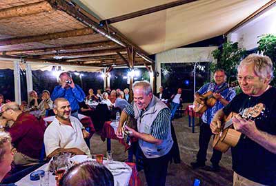
The Sfakians are famous for their hospitality. The locals welcome their guests like friends. Many visitors come back to Crete to visit Sfakia year after year. Enjoy their generosity!

Rough white topped mountains up to 2453 metres high, split by 25+ gorges, fertile plains, forests, and the blue sea, and inbetween them small whitewashed villages with many coves and unspoilt beaches.

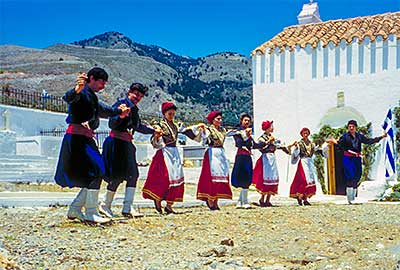
Brave people that have stood up against their many invaders, preserving their tradition of independence, celebrating their victories with music, poetry and dance, together with friends!